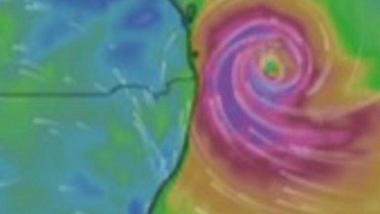
Tropical Cyclone Alfred’s impact is expected to be felt from Wednesday as the system’s “destructive core” bears down on the Queensland coast.
The category two cyclone was about 465km east of Brisbane and 430km east of the Gold Coast as of Wednesday morning, moving west at 11km/h.
It is expected to make landfall between the Sunshine Coast and the Gold Coast late Thursday or early Friday, with the Bureau of Meteorology forecasting the cyclone will maintain its category two intensity as it approaches the coast.
The Bureau of Meteorology declared a warning zone between Double Island Point in Queensland to Grafton in NSW, which includes Brisbane, the Gold Coast, the Sunshine Coast, Byron Bay and Ballina but not including Grafton.
A watch zone was also issued for Sandy Cape to Double Island Point in Queensland, including K’Gari.

Gales with damaging wind gusts of up to 120km/h are expected to hit from Wednesday, with warnings issued for communities between Double Island Point in Queensland and Grafton in NSW.
Residents between Double Island Point and Sandy Cape could be affected on Thursday if the cyclone moves further north.
Destructive wind gusts of up to 155km/h may develop from Thursday afternoon along coastal and island areas “as Alfred’s destructive core approaches and crosses the coast”, the Bureau alert stated.

A dangerous storm tide may also occur along the coastal foreshore, while abnormally high tides are likely to continue in low lying coastal areas between Sandy Gape and Grafton, particularly during high tides on Wednesday night, and Thursday and Friday morning and night.
Coastal erosion is likely for open beaches in those areas, the Bureau warned, while heavy to locally intense rainfall with the potential to lead to dangerous and life-threatening flash flooding could occur near and south of the cyclone’s centre on Thursday.
Brisbane Lord Mayor Adrian Schrinner said nearly 20,000 properties across Brisbane could be affected by storm surge or flooding according to new modelling.
Brisbane City Council buses are set to cease from last service on Wednesday, The Courier Mail reported, while Queensland Rail Trains are tipped to stop once either winds reach 90km/h or the cyclone is 200km or 10 hours away from hitting land.
‘Prepare for the worst’: Minns
NSW Premier Chris Minns earlier urged people to listen to emergency communications and not to put themselves or volunteer rescue workers at risk by not driving through floodwaters.
“We hope for the best, but we prepare for the worst,” Mr Minns said on Today.
Just days on from the three year anniversary of the Lismore floods Mr Minns said this cyclone warning “brings back all the worst horrors of 2022”.
Events cancelled, postponed due to ‘seriously nasty weather’
Several events have been cancelled or postponed as the cyclone nears, including two AFL opening round matches.
Brisbane’s Thursday game against Geelong at the Gabba was postponed along with Gold Coast’s match against Essendon at People First Stadium on Saturday, the AFL said in a statement, following communication with the state government, Bureau of Meteorology and Stadiums Queensland.
AFL chief executive officer Andrew Dillon said he didn’t want the games to “be a distraction” to cyclone preparations.
An alternate schedule will be announced as soon as possible, the AFL said.
Punk rock band Greenday announced their Wednesday night Gold Coast show was cancelled due to the cyclone, with it “not possible to reschedule” due to the band’s international touring schedule.
“With Cyclone Alfred bringing some seriously nasty weather, it’s just not possible to go ahead safely,” the band said in a statement posted on social media.
“We know this is a huge disappointment, and we’re just as bummed as you are. Stay safe out there!”
Refunds will be processed within 14-21 days, Live Nation wrote in a post to Facebook
More to come …


